
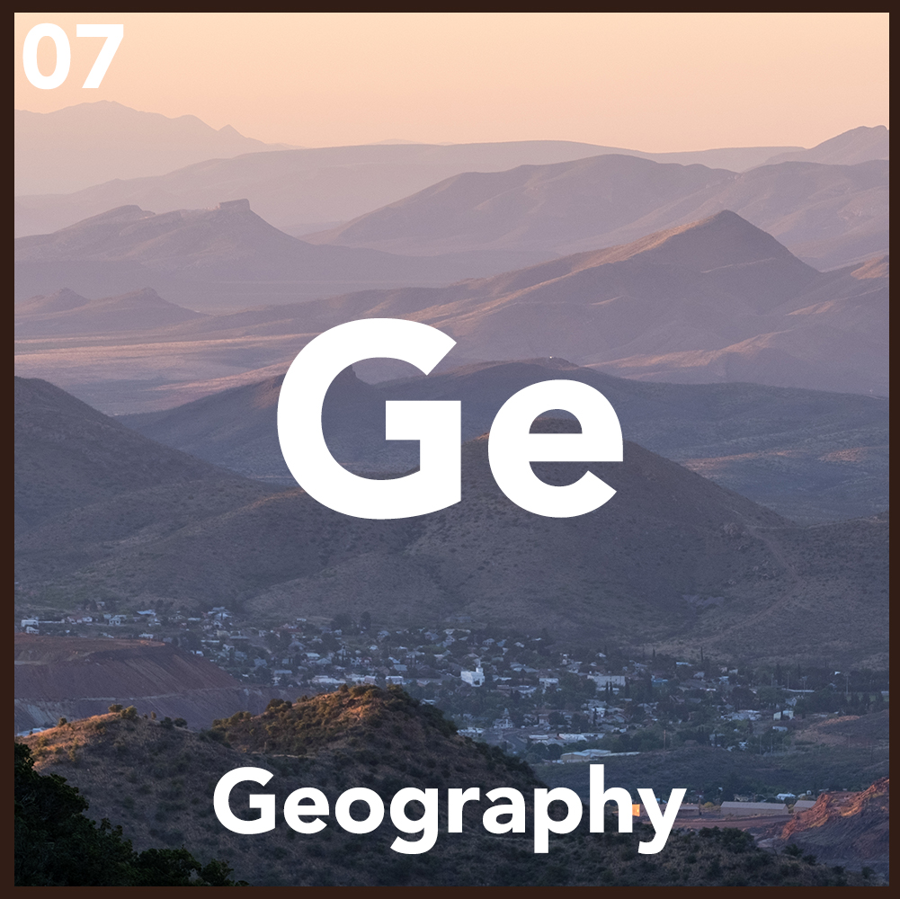
The Archipelago of Granite: Bisbee and the Sky Island Geometry
Bisbee is not merely a town; it is a marooned vessel lodged within the vertical surge of the Mule Mountains.
Its coordinates—31°26′53″N 109°54′42″W—mark a precise fracture point in the tectonic crust, where the American Southwest dissolves into the Madrean Archipelago.
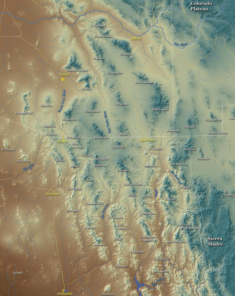
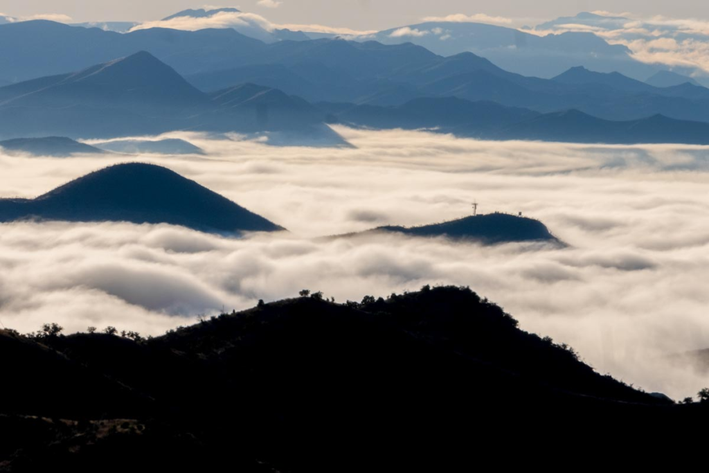
These are the Sky Islands, a series of isolated mountain ranges rising from a desert sea, creating a biological panopticon of extreme elevation and psychic isolation.
The Topographical Labyrinth
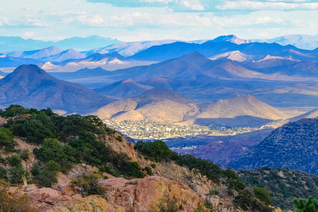
The town clings to the walls of Tombstone Canyon, its architecture a desperate attempt to colonize a landscape of precipitous inclines.
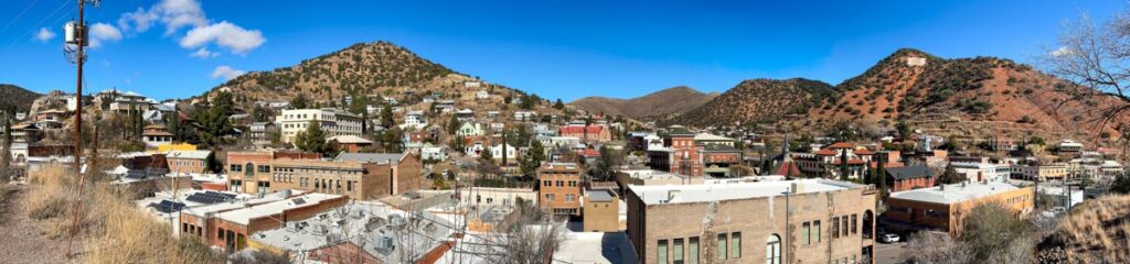
This is a vertical urbanism where the Mule Mountains serve as the town’s primary skeleton, a limestone and volcanic outcrop that functioned as a mineral-rich vault for the Copper Queen.
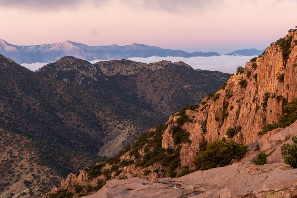
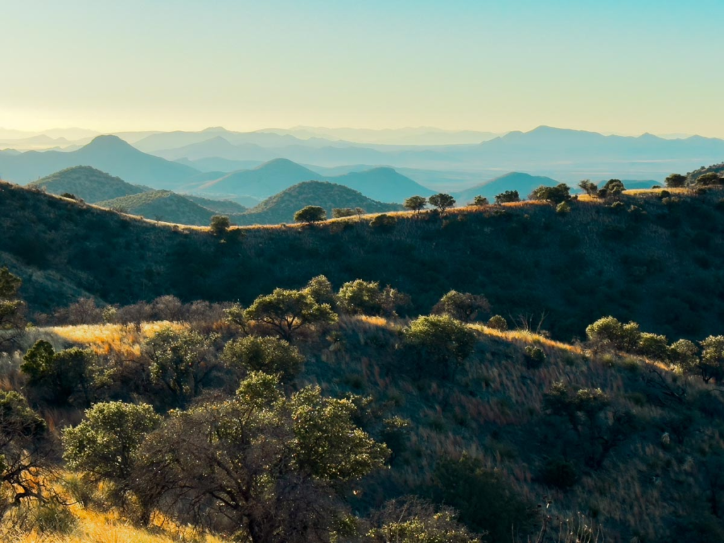
Surrounding these “islands” are the lowland scrublands, vast basins of heat and creosote that act as a geographical barrier, preserving the town’s unique micro-evolutionary character.
The Biological Staircase
As one ascends the steep stairs of Bisbee, they are traversing a compressed ecosystem. The Sky Islands facilitate a rapid metabolic shift, moving from the desert floor to oak and pine woodlands within a few thousand vertical feet.
This creates a diversity of life—jaguars, coatimundis, and rare birds—that treat the Mule Mountains as a terrestrial transit station between the Sierra Madre of Mexico and the Rocky Mountains of the North.
The Border Horizon
To the south, the horizon is dominated by the invisible line of the Mexican border, located just eleven miles away. This proximity infuses the atmosphere with a sense of liminality, as if the town exists on the edge of a great continental shelf.
The geographic placement of Bisbee is a study in defiant isolation; it is a place where the earth has buckled upward to escape the desert’s monotony, creating a high-altitude refuge for those who prefer their reality with a sense of vertigo.
Geographical Navigation
- The Summit: Mount Ballard, the highest point of the Mules, standing at 7,352 feet.
- The Descent: Travelers arriving from the north via State Route 80 experience the town as a sudden, subterranean reveal as they emerge from the Mule Pass Tunnel.
- The Sky Island Circuit: Explore the neighboring Chiricahua Mountains for a deeper immersion into this archipelago of rock.