
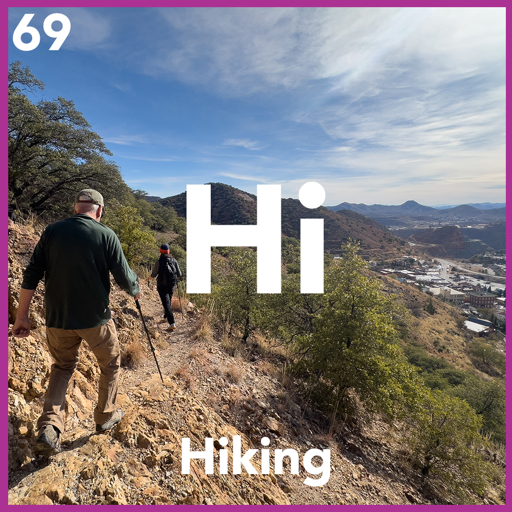
The Ridgeline Interface: The Bisbee City Trail
Bisbee serves as the premier gateway to the Mule Mountains, a rugged range that acts as one of Arizona’s most unique “Sky Islands”—isolated mountain ranges rising from the desert floor that harbor distinct, high-altitude ecosystems.
Forget the Stairs
The Bisbee City Trail is not a single paved path but rather a network of informal, rugged trails and old mining roads that traverse the hillsides surrounding Old Bisbee.
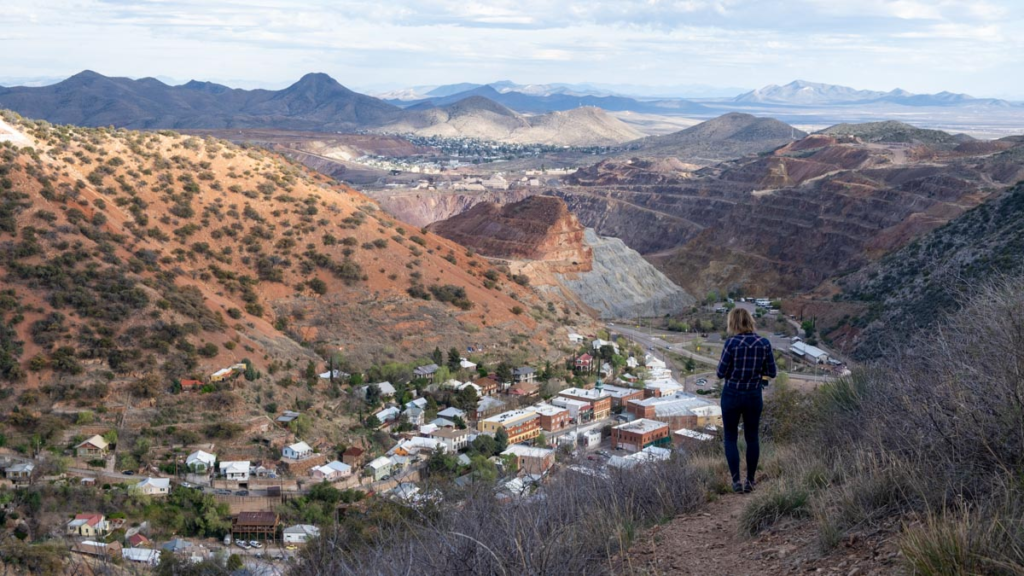
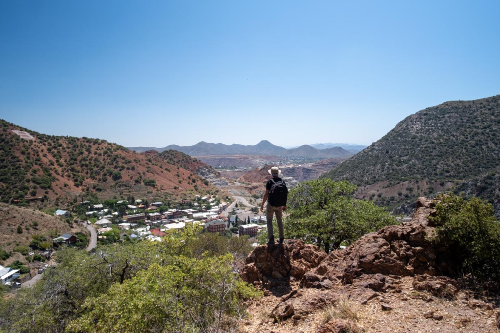
Running between Zacatecas Canyon and Moon Canyon, this trail is Bisbee’s “aerial highway.” It’s a rugged, single-track path that offers a topographical survey of the town, the Lavender Pit, and the sprawling borderlands to the south. It is the definitive route for those looking to understand Bisbee’s “vertical logic” from above.
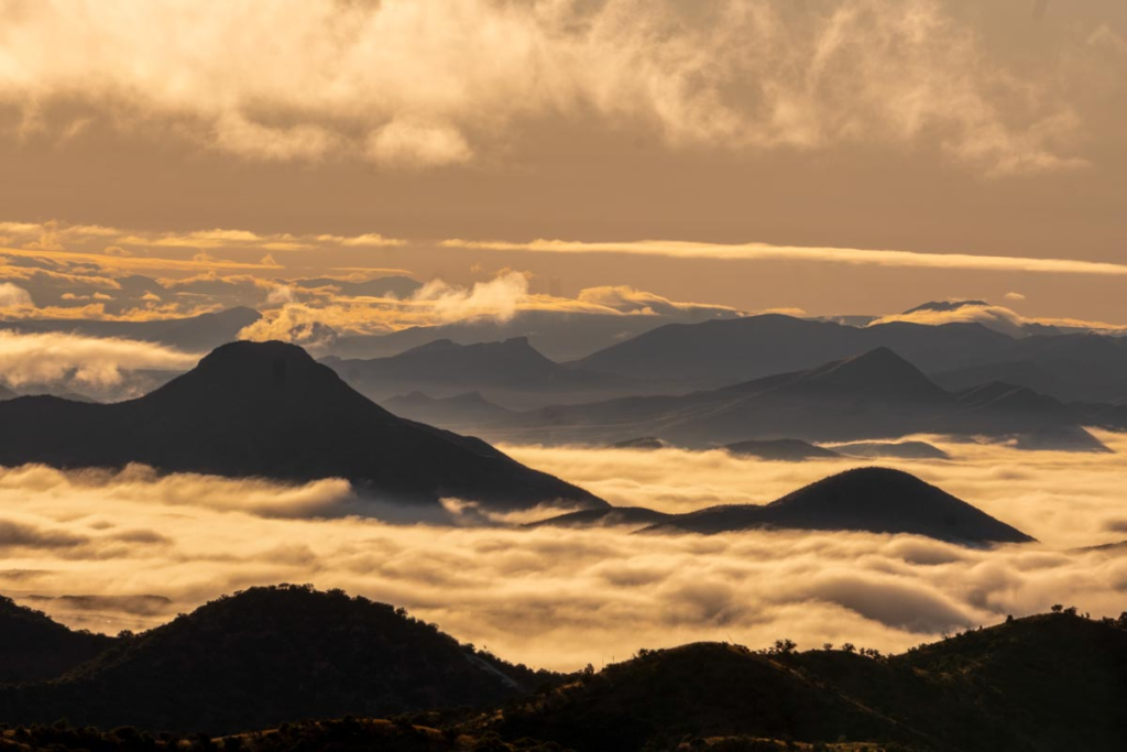
The Aerial Vantage
You aren’t just looking at the mountains; you are standing on the Mule Mountains. From this height, Old Bisbee looks like a miniature architectural model tucked into the canyon floor.
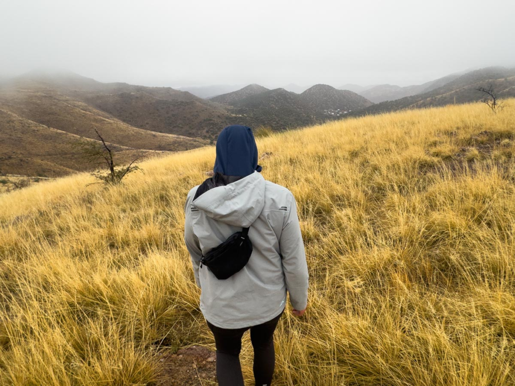
The Botanical Transition
As you move along the trail, the vegetation shifts between high-desert scrub, agave, and prickly pear. Keep an eye out for local wildlife, including javelina and white-tailed deer that use the ridge as a transit corridor.
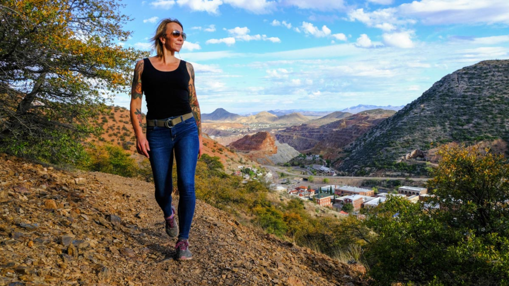
The Mining Perspective
The trail provides an unobstructed view of the Lavender Pit’s terraced geometry, allowing you to see the true scale of the industrial extraction that shaped the region.
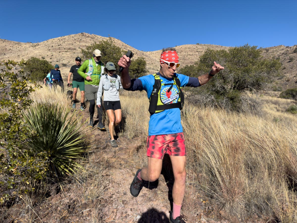
Exploring it offers a unique, challenging, and scenic hiking experience that blends urban and natural environments. Bisbee trails are notoriously steep. Whether you are seeking the solitude of the high ridgelines or a sunset view over the historic town of Bisbee, the Mule Mountains remain one of the most rewarding hiking destinations in the American Southwest.

Know Before You Go:
- The Entry Points:
- Zacatecas Side: Accessible the trail just before the end of the pavement in Zacatecas Canyon.
- Moon Canyon Side: Accessible near the high-elevation residential tiers of Moon Canyon.
- The Terrain Variable: This is a primitive trail. Expect loose limestone, steep “switchback” gradients, and narrow sections with significant exposure. It is not a casual stroll; high-traction footwear is essential hardware.
- The Sun Protocol: There is zero canopy cover on the trail. The high-altitude sun is an ionizing force even in winter. Apply sunscreen and carry at least one liter of water per hour of movement.
- Navigation & Signage: The trail is marked but can be “informal” in places. Follow the worn path and look for the stone cairns left by local hikers to stay on the primary line.
- The Wind Factor: The ridge acts as a “weather interface.” Even if it’s calm in the Gulch, the ridgeline can experience high-velocity gusts. Secure your hats and loose gear before reaching the crest.
- Bisbee “Muleteam” Hiking Group: https://muleteam.blogspot.com/
Pro Tip: This is the premier spot for sunset observation. Watching the shadows stretch across the canyons while the sky turns “Muck Rock pink” is a primary Bisbee ritual. Just ensure you have a headlamp for the descent, as the canyons go dark long before the ridge does.